Construction site at the airport

Leasing & Development Opportunities

Development at OKC Airport

The Oklahoma City Department of Airports and the Oklahoma City Airport Trust has designated approximately 1,000 acres at OKC Will Rogers International Airport for multi-use, multi-industry business development. The development area, located on the east side of the airport property, will complement the airport’s core business of operating a first class transportation facility.

For more information regarding opportunities for development at OKC Airport, contact Scott Keith, the assistant airports director.

Contact Information
Scott Keith
Assistant Airports Director
405-316-3203

How to Become a Tenant

Any person or persons wanting to lease or assume a lease for land or a facility on Oklahoma City airport property will need to complete and submit an Aeronautical or Non-Aeronautical Application for Lease of Airport Land or Facility, as well as submit any necessary supporting documentation.

Contact Information
The City of Oklahoma City, Department of Airports
7100 Terminal Drive, Unit 937
Oklahoma City, OK 73159-0937
[email protected]

Available Property

5300 South Meridian Avenue
Lease Rate: $14/SF NNN
Download Brochure

Property Highlights

  • 49,000± total square feet on 10.5± acres
    • Board room, training room, executive offices, open office area
  • 823 parking spaces
  • Furniture in place for “plug and play” for customer care or call center use
  • 7± additional acres potentially available for lease (dependent upon use)
  • Covered patio adjacent to break room for outdoor events
  • Four-way signalized intersection on meridian
  • Excellent visibility
  • Access to multiple highways

To get the latest updates on available property, reach out to our partners at CBRE:

Amy Dunn, CCIM
Vice President
405-607-6021
[email protected]

Randy Lacey, SIOR
Senior Vice President
405-607-6062
[email protected]

Chris Zach, CPA
Senior Associate
405-607-6313
[email protected]

Development Standards

In recognition of the necessity of protecting the public health, safety, and interest in the Oklahoma City-owned airports, and in order to foster, encourage, and ensure the economic growth and orderly development of Aeronautical Activities, pursuant to Federal Aviation Administration requirements for federally obligated airports, the Oklahoma City Airport Trust has adopted the Airport Strategic Development Program.

This program identifies commercial development opportunities for airport properties and establishes a business planning approach for the leasing of the properties at the airport, including the development of vacant land located on the east side of the airport property.

Learn More

Avigation Easement Process

For all properties within Airport Environ Zones One (AE-1) or Two (AE-2), an Avigation and Hazard Easement must be conveyed to the Oklahoma City Airport Trust pursuant to the City of Oklahoma City’s (“City”) Municipal Code regarding Airport Zoning Overlay Districts, Section § 59-13150, et seq. and Federal Aviation Administration’s regulations, including, but not limited to, 14 CFR Part 77, or as the same may be amended.

An Avigation Easement is a covenant that runs with the land in which the Property owner grants an easement and right of way for the use of airspace located above the Property, and the Property owner acknowledges certain conditions associated with aircraft flight and the operations of a nearby airport. The Property owner must provide an Avigation Easement for the Property but may also elect to include the entire parcel attached to the Property, or all parcels owned that are located within the Environ Zones. The City’s Department of Airports will prepare the Avigation Easement for your review and execution and docket it for approval by the Trust and City when complete. There is no fee associated with an Avigation Easement.
Check if your property falls within an Airport Environ Zone using the link: Zoning Map

To read more about Airport Overlay Districts: Airport Zoning Overlay Districts

If you need assistance or have questions, please contact Heather Lung-Close at 405-316-3276 or [email protected].

Cellular Equipment Upgrade Process

For any cellular equipment upgrades that are made to the Tower located at 6403 S. Meridian, Parking Garage Stations, or any other Trust Owned Structures, the Department of Airports requires the following items:

  • Final Plans
  • Mount Analysis
  • RF Exposure
  • Updated Equipment Inventory List
  • Updated Lease Documents

All documents will need to be reviewed and approved by Airport Staff. Please contact Heather Lung-Close at 405-316-3276 or [email protected] when you have ALL documents and want to begin the review and approval process.

Airspace Process

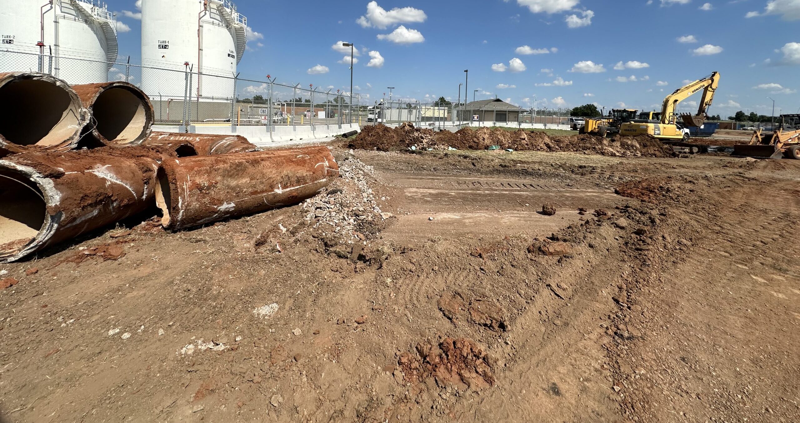
Are you performing work or developing on Airport property?
You will more than likely require an airspace study. The Oklahoma City Airport Trust requires that anyone needing an airspace study submit all documents to the Trust for submission to the FAA. Furthermore, it is required that ALL On-Airport airspace studies attach a 1A Survey.

Please fill out an FAA 7460-1 form for any building, structure, and/or crane you will build and use that is over 25 feet in height. You will find a current version of the form here.

A 1A Survey is easy to do, and you can have a local surveyor perform the work. You will find the FAA Certification of Data Accuracy Form, which is the official FAA 1A Survey form, here.

1A Notes

  • Have the surveyor fill out the form exactly as shown.
  • No other form will do.
  • The surveyor should not alter the form in any way.
  • Make sure the information at the top of the form is filled out.
  • In the table, fill out the information for each of the four lat/long points. For example, a crane will need 4 points where the crane will operate, forming a box. A hangar/building will need at minimum 4 corners but may also require the roof peak (highest points).
  • Site Elevation (existing ground elevation), Above Ground Level (crane height) and the Overall Height (existing ground elevation plus the crane height).
  • Mark the box labeled “within 20 feet horizontal and 3 feet vertical.” No other accuracy will be accepted.
  • Finally, sign, seal, and date.

A site plan and/or aerial map showing your project location is always welcome.

Email all completed, signed, and sealed forms to [email protected].

Noise Contours

The purpose of existing and future aircraft-generated noise analysis is to provide support for land use planning tasks and airport master planning. The zones have proven effective over the years in achieving balance between protecting the airport from encroachment of incompatible uses, while simultaneously protecting the community from any negative effects of the airport.

Download this document to learn more and view the Noise Contours.

Need to file a noise complaint? Call the Operations Office at 405-316-3287. Or, simply fill out the contact form below.

Zoning Overlay Maps

The City of Oklahoma City utilizes zoning to control land uses within its corporate boundary. In addition to traditional land use zoning, in the area around the airport, the City of Oklahoma City has established Airport Zoning Overlay Districts that limit both the height and types of development within the area surrounding the airport.

The purpose of the Airport Zoning Overlay Districts is to:

  • Promote public health, safety, and general welfare of the city
  • Prevent the creation of airport hazards, which are public nuisances and an injury to the region served by the airports
  • Protect the City and the utilization of the airports against potential litigation
  • Reduce the adverse impact of airports on surrounding properties

View the Zoning Overlay map for OKC Will Rogers International Airport
View the Zoning Overlay map for Wiley Post Airport
View the Zoning Overlay map for CE Page Airport

Master Plan Maps

An airport master plan is a comprehensive study of an airport and usually describes the short-, medium-, and long-term development plans to meet future aviation demand. The goal of a master plan is to provide the framework needed to guide future airport development that will cost-effectively satisfy aviation demand, while considering potential environmental and socioeconomic impacts. Each master plan should meet the following objectives:

  • Document the issues that the proposed development will address.
  • Justify the proposed development through the technical, economic, and environmental investigation of concepts and alternatives.
  • Provide an effective graphic presentation of the development of the airport and anticipated land uses in the vicinity of the airport.
  • Establish a realistic schedule for the implementation of the development proposed in the plan, particularly the short-term capital improvement program.
  • Propose an achievable financial plan to support the implementation schedule.
  • Provide sufficient project definition and detail for subsequent environmental evaluations that may be required before the project is approved.
  • Present a plan that adequately addresses the issues and satisfies local, state, and Federal regulations.
  • Document policies and future aeronautical demand to support municipal or local deliberations on spending, debt, land use controls, and other policies necessary to preserve the integrity of the airport and its surroundings.
  • Set the stage and establish the framework for a continuing planning process. Such a process should monitor key conditions and permit changes in plan recommendations as required.

View the Master Plan Map for OKC Will Rogers International Airport

View the Master Plan Map for Wiley Post Airport

View the Master Plan Map for CE Page Airport

For Noise Complaints, Contact Us

Need to file a noise complaint? Call the Operations Office at 405-316-3287. Operators are available Monday through Friday, 8:30 a.m. to 11:45 a.m., and 1 p.m. to 4:30 p.m.

Or, simply fill out the contact form below.

"*" indicates required fields

Address*
MM slash DD slash YYYY
Example: 11:30 AM
Example: 1:30 PM
Aircraft type
Weather conditions (if known)